(Click to enlarge)
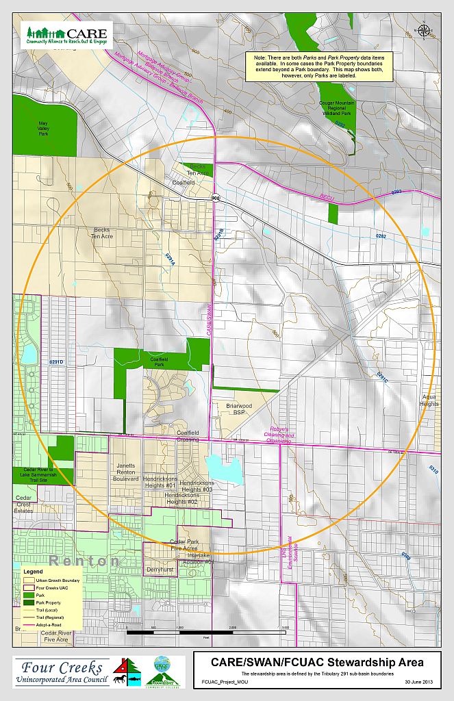
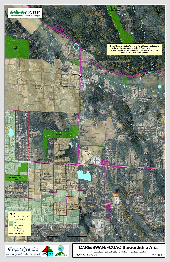
The MOU Stewardship area includes tributary 291, Coalfield Park, and 164th Ave SE
Download PDF here
In 2008, a community partnership agreement was created that benefits the Four Creeks community by making improvements to a community park, a wetland that also helps control storm water in the Four Creeks area, and the roadway of 164th Ave SE between SE 128th St and SR 900. The “Four Creeks Agreement” creates a partnership between King County, the Four Creeks Unincorporated Area Council and two community groups – the Community Alliance to Reach out and Engage, and Stewardship of Wetland Areas by Neighbors. Read the 2008 King County announcement of the “Four Creeks Agreement“
(Click to enlarge)
Download PDF here
The agreement was renewed in 2011, 2013, and 2017.
The agreement is comprised of a Memo of Understand (MOU) along with three attachments: maps, objectives, and status & history.
These are final documents, part of the 2017 renewal.
- MOU (Word PDF)
- Attachment A – Maps (PDF)
- Attachment B – Objectives (Word PDF)
- Attachment C – Status & history (Word PDF)
These are other documents not part of the formal MOU package.
- Other – Investment summary (Word PDF)
- Other – Action plan (working reference document only) (Word PDF)
- Other – Community announcement (Word)
Current and additional maps are available on the Atlas site in the Maps > Gallery in the Project Group