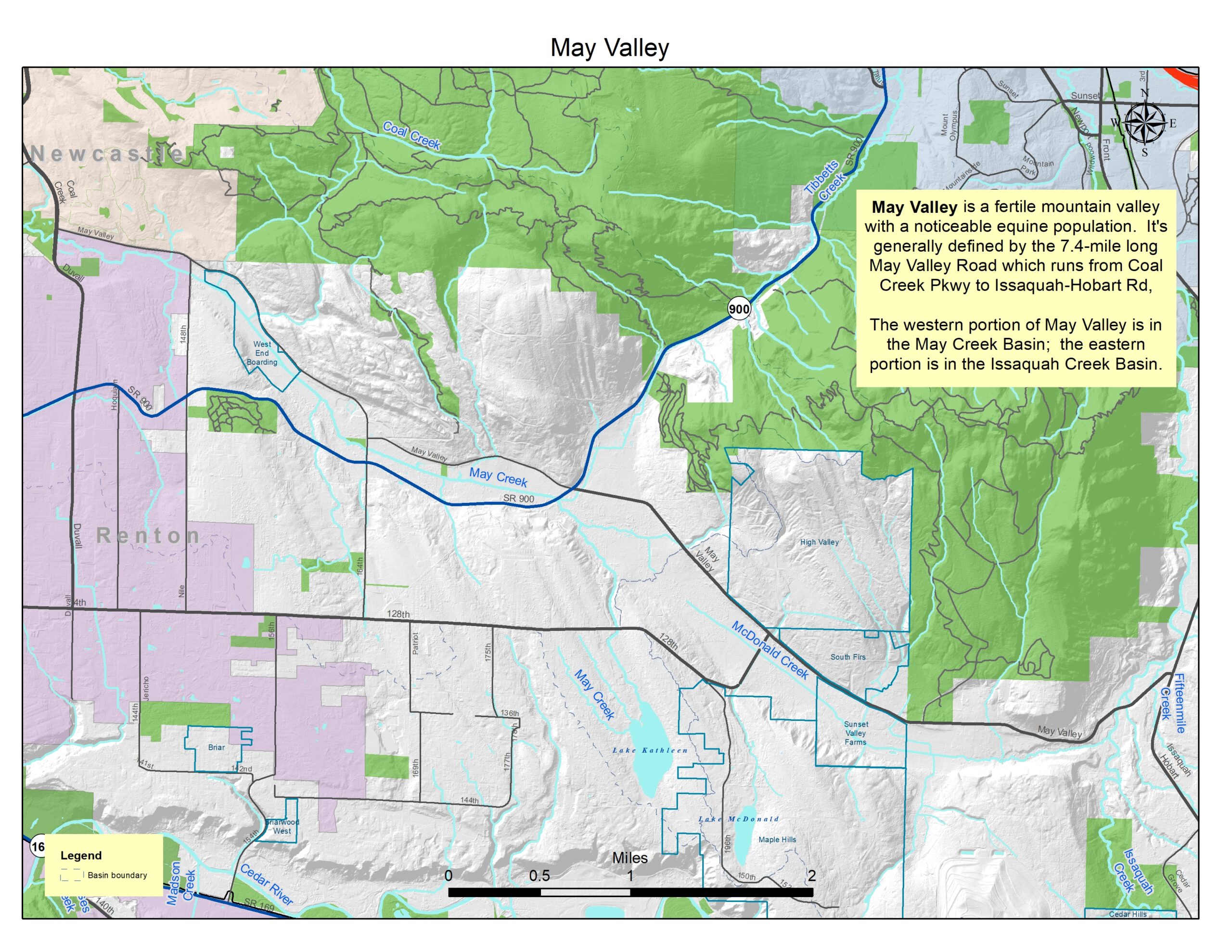
The May Valley subarea includes the entire valley as defined by May Valley Road running from approximately Coal Creek Parkway to Issaquah-Hobart Road. It also extends out SR 900 to include the entire north fork of May Creek which extends to the summit of SR-900 at Pacific Topsoils.
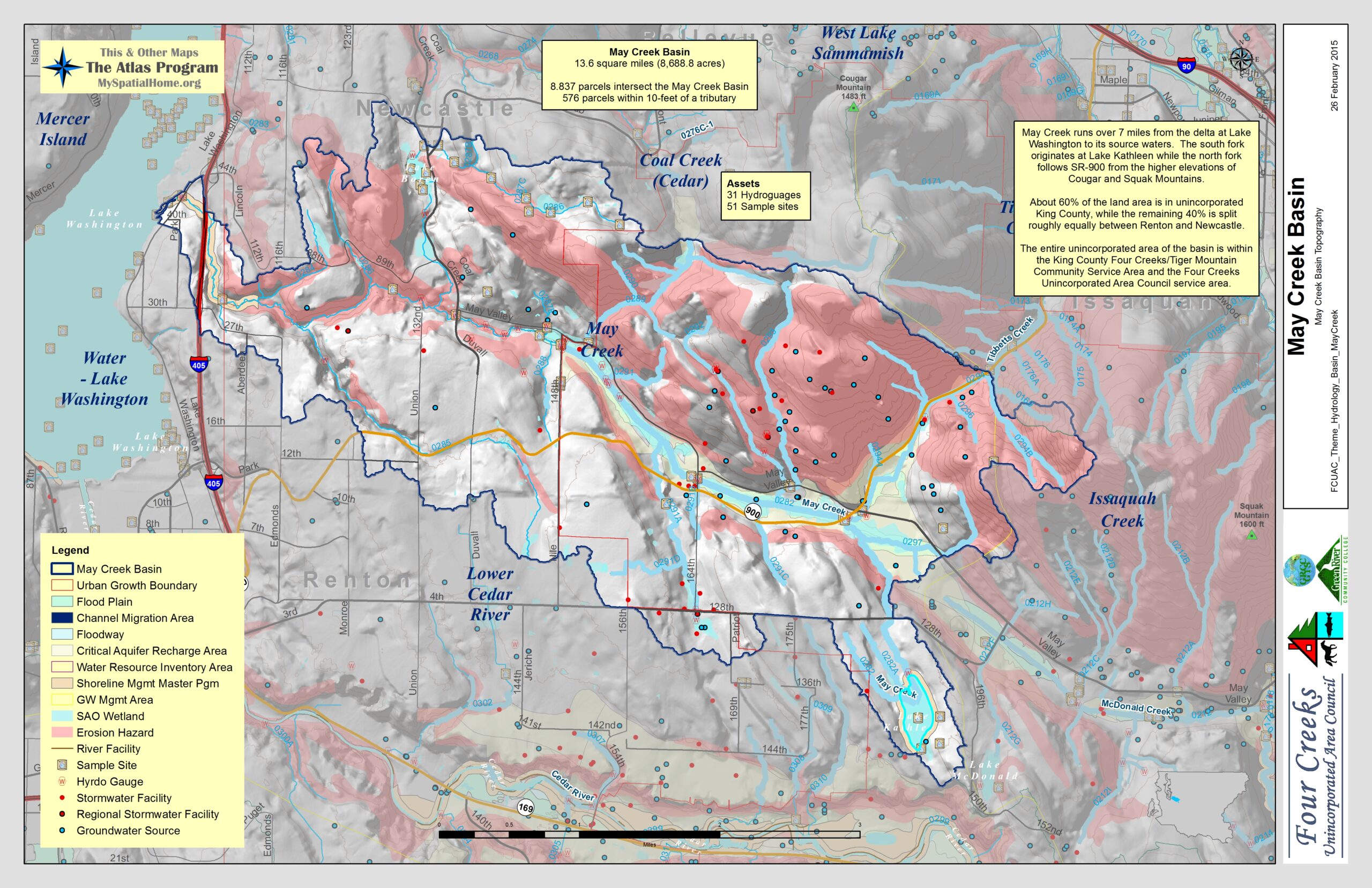
The valley includes portions of two topographical basins: May Creek and Issaquah Creek. The western portion of May Valley has the middle section of May Creek, and the eastern portion has the middle and lower sections of McDonald Creek.
Plans
April 23, 2001 King County adopted the May Creek Basin Plan
January 18, 2019 King County published a memo that documents the planning effort completed to site a sediment facility for Country Creek and Cabbage Creeks, which are tributary to May Creek. Country Creek and Cabbage Creek sediment plan
Maps
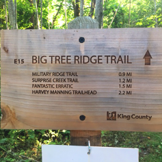
May Valley is neighbor to one of the most extensive soft trail systems in King County. Trails extend through and around Cougar, Squak, Tiger, and ??? mountains.
Local actions and events
January 2014 – Green River Community College Natural Resources classes being held in May Valley.
Green River Community College Natural Resources department has teamed with the Four Creeks Unincorporated Area Council to hold the Stream and Wetland Management and Restoration classes in May Valley.
FCUAC’s Atlas Program teamed with GRCC Geographical Information System students for mapping and spatial analysis in the Four Creeks/Tiger Mountain Community Service Area. At one point, that relationship has expanded to include Natural Resources students.

In January, 2014, the students, faculty, residents, support organizations, and community leaders met at the Red Barn boarding facilities to conduct the first class at the study site. After orientation and Q & A, the students took samples from May Creek to begin their analysis.
Along with the May Valley site, the students will study an area along one of the May Creek tributaries being stewarded by residents, with support from local community organizations.